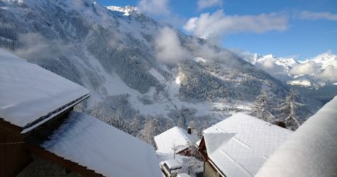
Ideal base for your hiking trips
Sainte Foy offers magnificent varied hikes that extend between high mountains, forests and alpine pastures: From 890 m in the Isère valley to 3747 m at the top of the Aiguille de la Grande Sassière. This results in the existence of four stages of vegetation : mountain, subalpine and alpine extended beyond 2700 to 3000 m altitude by a nival stage.
Discover our selection of the best hikes to do in the heart of Sainte Foy Tarentaise !
Discover our selection of the best hikes to do in the heart of Sainte Foy Tarentaise !
THE BEST HIKES
LE MONAL
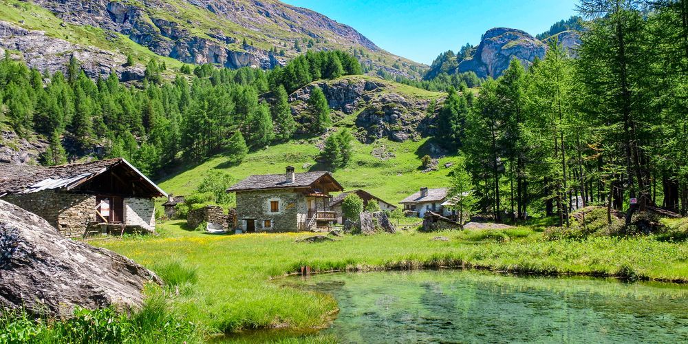
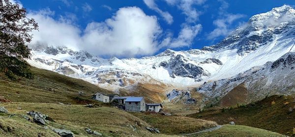
Selected among the "best walks and short hikes in the Tarentaise", this walk offers you an easy climb to the hamlet of Monal: a small village listed as a monument by the Beaux Arts de Paris. Nestled at an altitude of 1874m, Le Monal seems straight out of a postcard: stone chalets and slate roofs, this small village offers you a superb view of Mont Pourri and its glaciers. A hike accessible to all !
For the more athletic, do not hesitate to continue towards the valley of the Clou : Lac du Clou, Lac Noir, Lac Brulet, Lac Blanc etc. Nature lovers will be delighted!
For the more athletic, do not hesitate to continue towards the valley of the Clou : Lac du Clou, Lac Noir, Lac Brulet, Lac Blanc etc. Nature lovers will be delighted!
LE LAC NOIR
Direction the wild valley of Mercuel at 1900m altitude. It is delimited to the north by the Monséti ridge, to the east by the Bec de l'Âne, the Col du Mont and the tip of Archeboc on the border with Italy, to the south by the tips of the Foglietta. A hiking paradise !
This valley is also an ancestral passageway between the Tarentaise and the Val d'Aoste with the Col du Mont (2636m).
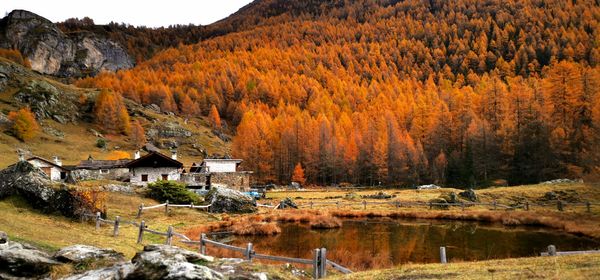
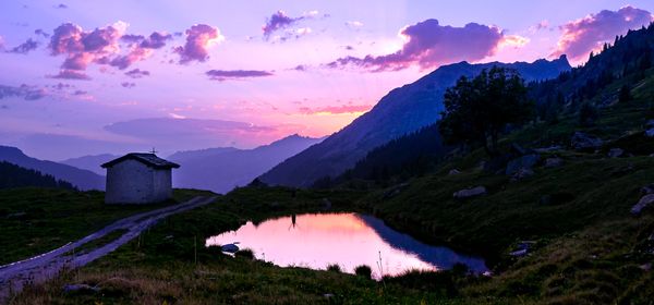
After passing the hamlet of Côtes and Chapelle St Roch, continue to the left, towards the Col du Montséti. and discover the Lac Noir: it is dominated by the Bec de l'Ane.
Once you have crossed the pass, you can make a loop and descend towards the Petite Sassière valley and the Ruitor refuge.
LE LAC du petit
After having explored the Vallon du Clou, de Mercuel, Sainte Foy still offers you new hiking possibilities : The Vallon de la Petite Saissière.
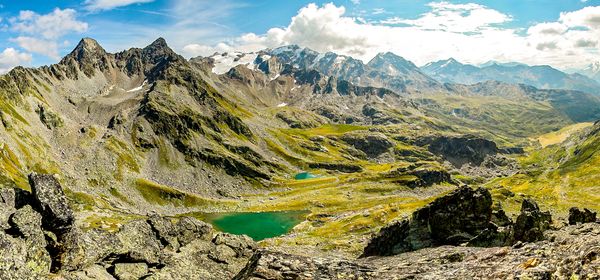
From the hamlet of La Mazure, go up towards the Pierre Giret car park. You gradually move towards the Refuge du Ruitor and the Vallon de la Petite Sassière : a superb plateau where a river flows: ideal for recharging your batteries with a breathtaking view of the Ruitor glacier, as well as Mont Pourri and its glaciers.
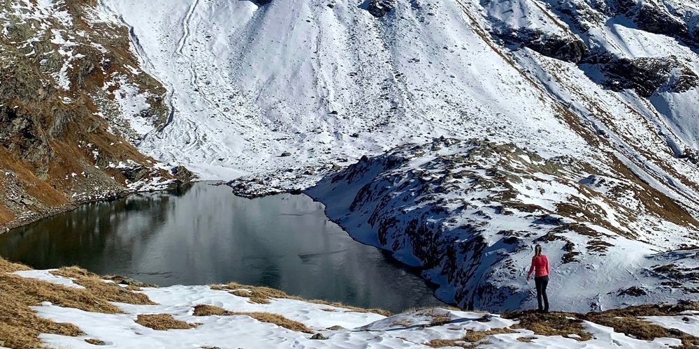
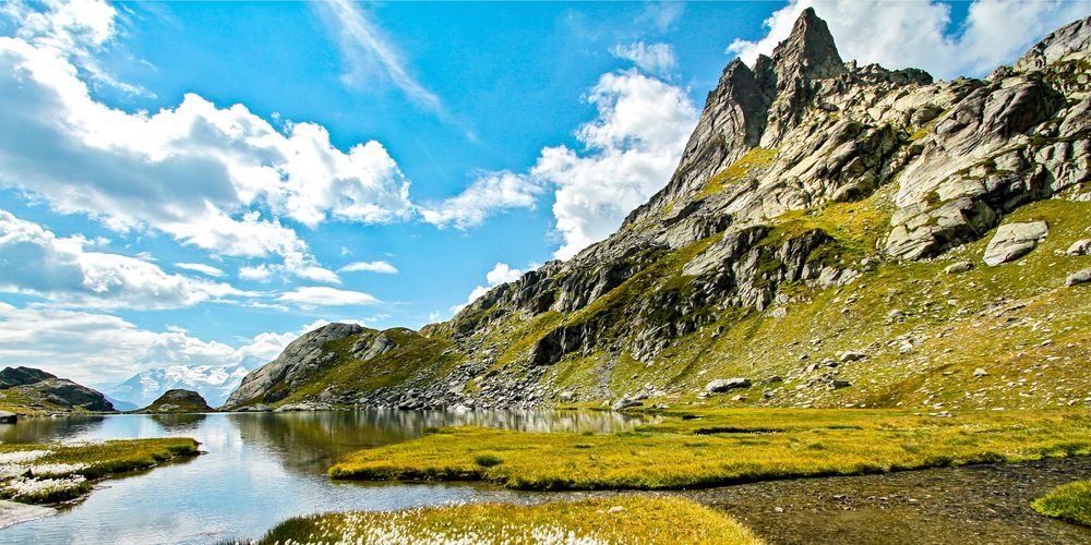
Continue towards the Lac du Petit culminating at 2400m. The surroundings of the lake allow you to settle down for a picnic!

our advices before hiking
our advices before hiking
To take full advantage of the magnificent setting that the destination of Sainte Foy Tarentaise offers you, here are our little tips before your departure:
- Equip yourself with good shoes, water and a snack.
- Download apps like Iphigénie or Fat Map to get your bearings.
- Useful numbers :
--- Mountain Rescue (PGHM): 04 79 07 01 10 or 112
--- Sainte Foy Tourist Office: 04 79 06 95 19
Do not hesitate to contact mountain professionals, they can accompany you on routes or suggest other circuits!
For more info, contact us !
- Equip yourself with good shoes, water and a snack.
- Download apps like Iphigénie or Fat Map to get your bearings.
- Useful numbers :
--- Mountain Rescue (PGHM):
--- Sainte Foy Tourist Office:
Do not hesitate to contact mountain professionals, they can accompany you on routes or suggest other circuits!
For more info, contact us !
